
Utility Designating for Engineering Firms in Colorado
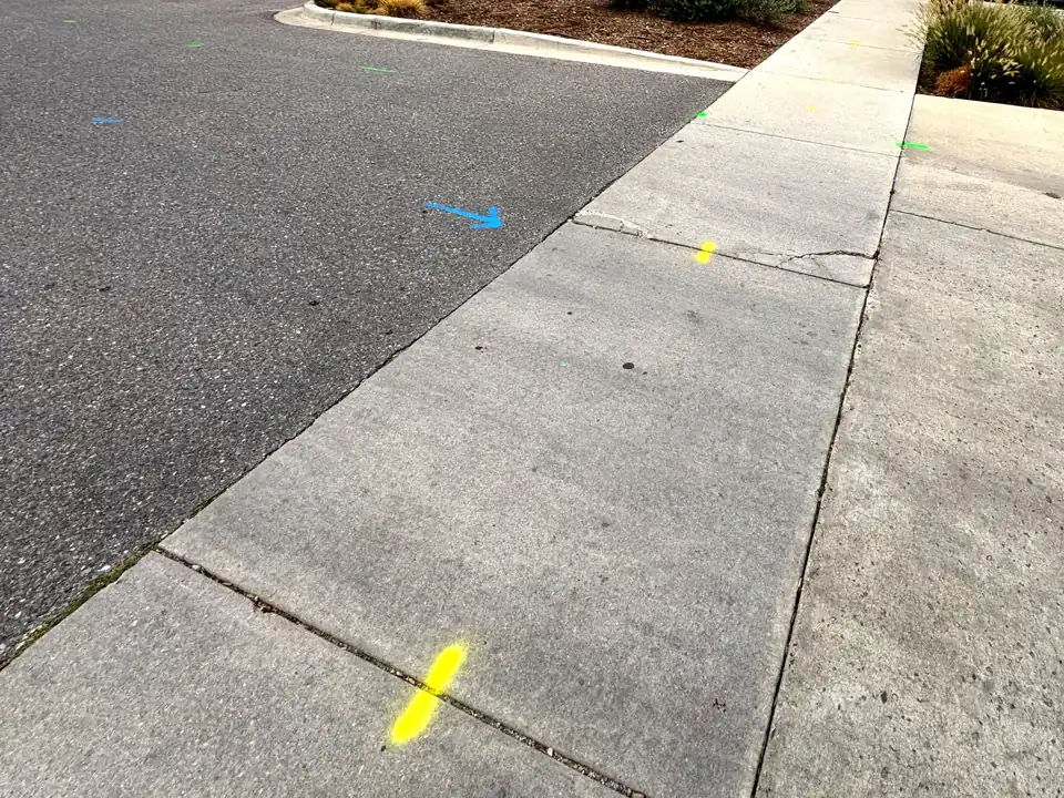
Electromagnetic and ground-penetrating radar field work across the design limits, marked in APWA color and mapped as a Google Earth (KMZ) file, in support of the engineer of record's QL-B. Colorado Springs to Denver and the Front Range.
Why firms use us
Field data your drawing can use
Built for the design phase
Colorado's excavation law asks public projects for better utility data at design. We do the field work, in support of the engineer of record's QL-B: trace every conductive line, sweep with radar for the ones that carry no signal, and mark each by type.
GPS on every mark
Each mark is logged with GPS as placed and delivered as a KMZ file that drops into Google Earth or your CAD workflow. Shapefile on request.
Gaps shown as gaps
Anything we could not trace or confirm is written down and mapped as unconfirmed, so the drawing never implies coverage it does not have.
The engineer of record decides
We are a private utility locator, not a licensed engineering firm. We do not assign ASCE 38 quality levels; the engineer of record assigns the quality levels and seals the work.
Design deadline coming up?
Send the limits of work and the date you need the data. Firm number and a field date.
FAQs
Utility designating: common questions
What do you deliver?
Paint and flags on site in APWA color, a markout summary, a photo log, and a KMZ file with the GPS position of every mark as placed. Lines we could not trace are listed and mapped separately.
Can you work under our firm's direction?
Yes. That is how this service is meant to run: we do the field work and the engineer of record reviews, classifies and seals it.
Contact Us
Request a Quote
Send the address, what the work is and when, and you get a firm written quote within 1 business day (Monday to Friday). Rather talk? Call or text (719) 800-4937; our assistant answers right away, and Reggie follows up.