
Utility Locating Services in Colorado Springs & the Front Range
Private utility locating, GPR concrete scanning, sewer lateral locating, 811 ticket management, utility takeoffs, utility designating, soil boring locates, mapping and KMZ files, excavation standby and underground tank locating. Each has its own page; this one is the short version.
What we do
Ten services, each with its own page
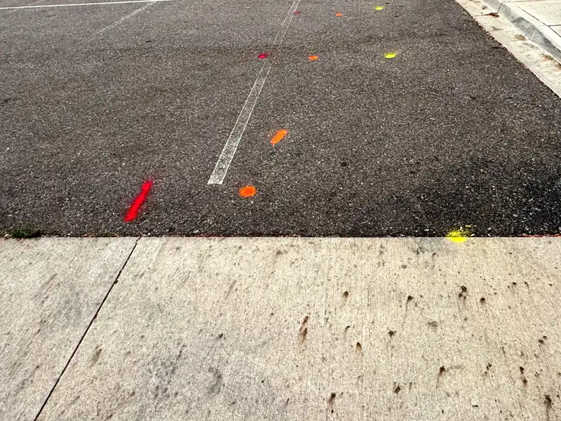
Private utility locating. 811 marks the utility companies' lines up to the meter. We sweep for the private lines past it (power, gas, water, irrigation, sewer laterals) with an electromagnetic locator, and ground-penetrating radar where the job calls for it, and paint what we find in APWA color code. Anything we could not find goes in writing. Residential is a flat rate for the visit, small commercial sites have a flat package, and larger sites book by the half-day or day.
GPR concrete scanning. Before anyone cuts, cores or drills, we scan the slab, wall or deck and mark the rebar, post-tension cable, conduit and voids on the surface. Position only, no structural opinion, no cutting by us.
Sewer lateral locating. A small transmitter pushed through the cleanout, followed from above and painted in green. A locate, not a camera inspection.
811 ticket management. For contractors filing tickets every week: we file, watch the member responses, chase the ones that have not responded, renew before the lapse, and keep the monthly record. The utilities still do their own marks.
Utility takeoffs. Send the civil plan set and get underground utility footage by type, per sheet, as a PDF and a CSV, with measured footage kept separate from extrapolated. For estimating, not for digging. Remote, no site visit.
Utility designating. For engineering firms: electromagnetic and radar field work across the design limits, marked in APWA color and mapped as a KMZ file the design team can use.
Soil boring locates. For geotech and environmental firms: every boring, monitoring well and test-pit point checked before the rig arrives, with private lines marked around each one and a written record.
Mapping and KMZ files. Marks fade; the record does not. The marks as placed, delivered as a KMZ file that opens in Google Earth, or a shapefile, plus markout summaries and photo logs when the project needs paper. For planning, not for digging.
Excavation standby. We stay with the crew while they dig, watch the marks as the ground opens, and re-check anything that looks off. Booked as a half-day or full-day block at a fixed price.
Underground tank locating. Old fuel oil and storage tanks located with radar and electromagnetic tracing where the ground allows, fill and vent lines traced, and the outline marked on the ground. For property sales, environmental assessments and site work.
To get started: for a home, get a price in a minute. For anything else, send the address and what you are doing through the request form, or call or text (719) 800-4937, and you get a firm number.
Not sure which one you need?
Tell us what you are doing and where, through the request form or by calling or texting (719) 800-4937, and we tell you which service fits and what it costs.